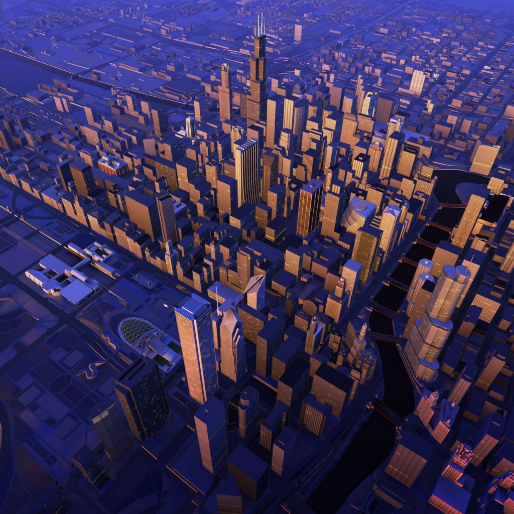
Together, Leia Inc., Continental and HERE are creating a spatial reproduction of the real world that will help drivers better orientate themselves and stay more alert while driving. The partnership is leveraging HERE Premier 3D Cities which are high-fidelity, 3D models of 75 city centers around the world, enabling software developers to build real-world visualizations of cities.
HERE Premier 3D Cities contain rich data layers and attributes that are aligned to physical geometry and terrain. Each structure within the models is indexed, addressable, and accurate in terms of physical location, volume, elevation and façade color.
HERE’s 3D depiction of buildings and topography can be displayed in Continental automotive display solutions thanks to Leia’s Lightfield software that allows for the visualization of 3D maps for extended periods of time, without the need for adaptive eyewear or an eye-tracking sensor. 3D maps are becoming an essential building block for Leia’s Lightfield Automotive Software Development Kit (SDK).
“Maps form the basis of any automotive SDK. We are really pleased to be combining our Lightfield software with HERE 3D cities data and Continental’s display solution to be able to offer all OEMS a new navigation experience,” said David Fattal, Leia’s Co-Founder and CEO.
“3D display technology creates a more intuitive interaction between driver and vehicle and thus enhances driving safety”, said Ulrich Lueders, head of strategy and portfolio at Continental’s business unit Human Machine Interface.
HERE Premier 3D Cities gives software developers the geospatial data needed to build real-world visualizations of cities. Last-mile delivery drivers can navigate dense cities with maps that highlight precise building dimensions and entry points along their delivery routes. The entertainment industry gets the building blocks for virtual site visits and seamless computer-generated imagery integration. Telecommunications companies can optimize their buildouts of 5G networks in 3D and urban planners and emergency responders can build digital twins for better land use analysis and disaster readiness simulations.
HERE Premier 3D Cities contain rich data layers and attributes that are aligned to physical geometry and terrain. Each structure is indexed, addressable, and accurate in terms of physical location, volume size, elevation and façade color.
Advanced Driver Assistance System in Audi A8
Currently, the Audi A8 luxury sedan’s modular infotainment platform (MIB2+) integrates HERE 3D city models, providing drivers with the latest navigation user interface and lane-level guidance experiences.
The indexed and addressable structures within HERE Premier 3D Cities allow developers to search and highlight individual buildings, attach additional metadata to the structures, and apply advanced rendering techniques including CGI applications.
HERE Premier 3D Cities are available in Cesium/OGC 3D Tiles to support seamless integration. Each kilometer of data is stored in small-sized tiles for efficient streaming and rendering. Sample datasets of London, Berlin and Munich are currently available on AWS Data Exchange.
HERE has mapped 196 countries and collects more than 28 terabytes of terrestrial LiDAR data every day. HERE Premier 3D Cities are created with multiple sources – including LiDAR, optical and satellite imagery – and decades of cartographic expertise and AI/Machine Learning applications the company has developed to deliver industry leading location-based services to enterprises globally.
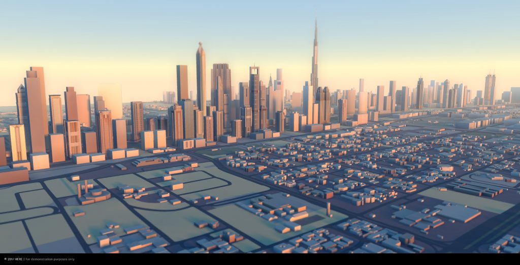
Dubai in HERE 3D.